
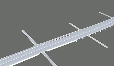
Highway Corridor Upgrade with BIM
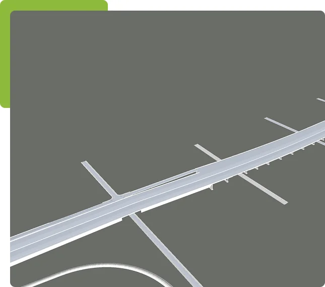
Highway Corridor Upgrade with BIM
BIM was used to model the entire roadway—from earthworks to utilities—helping engineers spot conflicts early, optimize drainage, and cut construction delays by nearly 30%.
Drainage Optimization & Utility Coordination
Our BIM workflows integrate subsurface utilities, grading profiles, and stormwater systems into a unified corridor model. This allows engineers to visualize drainage paths, avoid utility clashes, and phase construction with confidence—reducing delays and improving long-term infrastructure performance.